Earthquake/Fire: Burning of the Mission
 |
 |
 |
 |
 |
 |
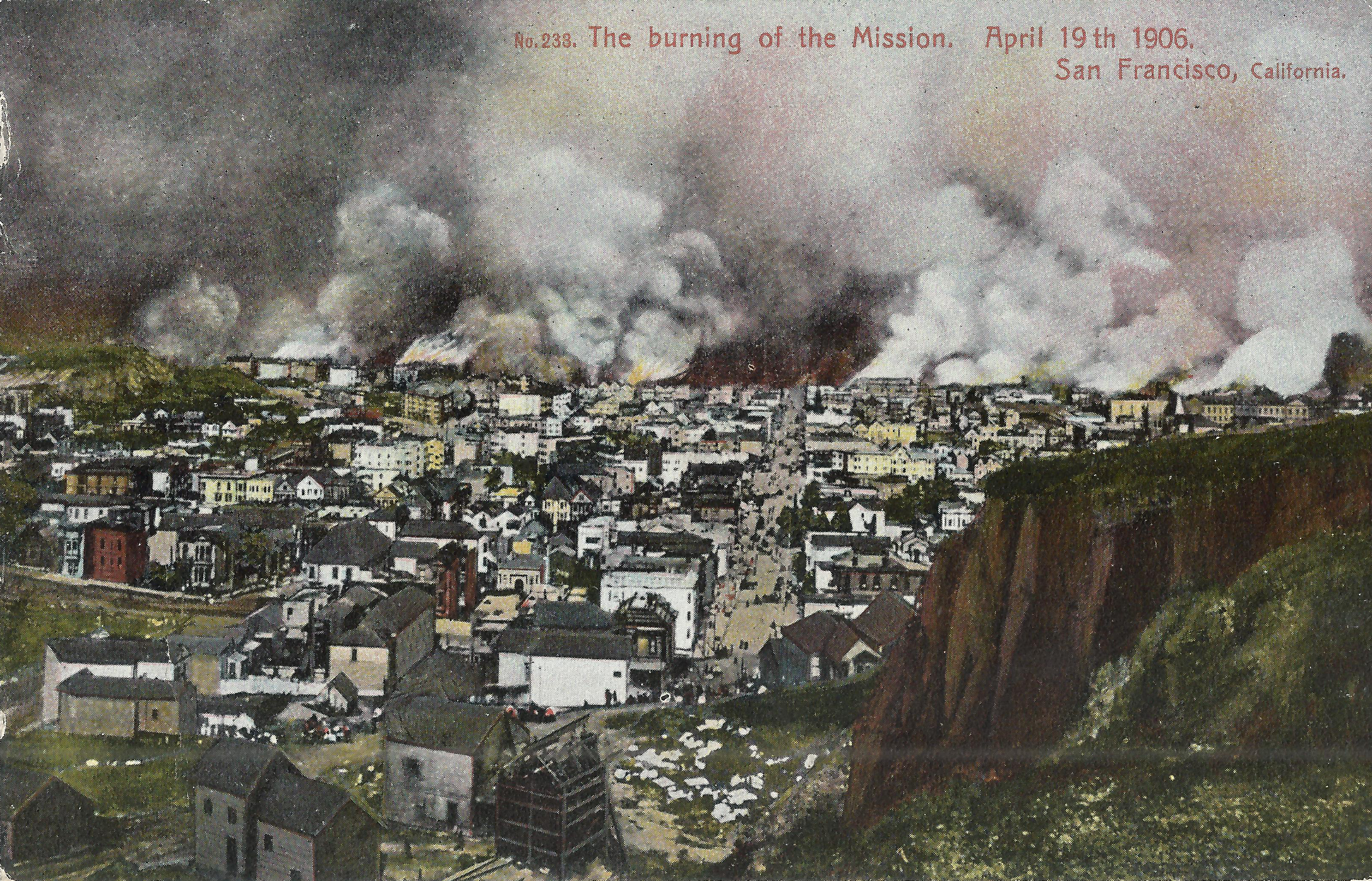
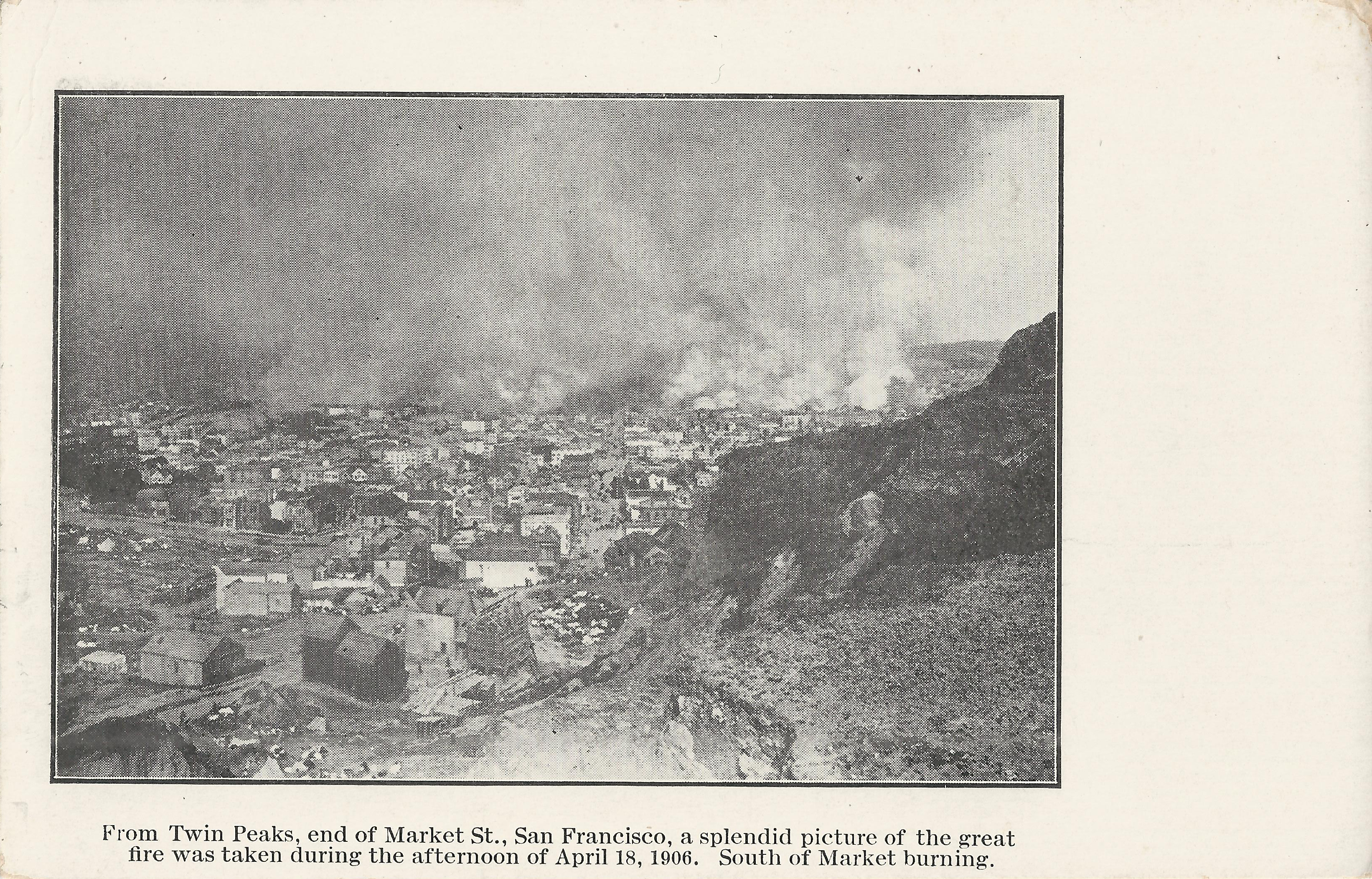
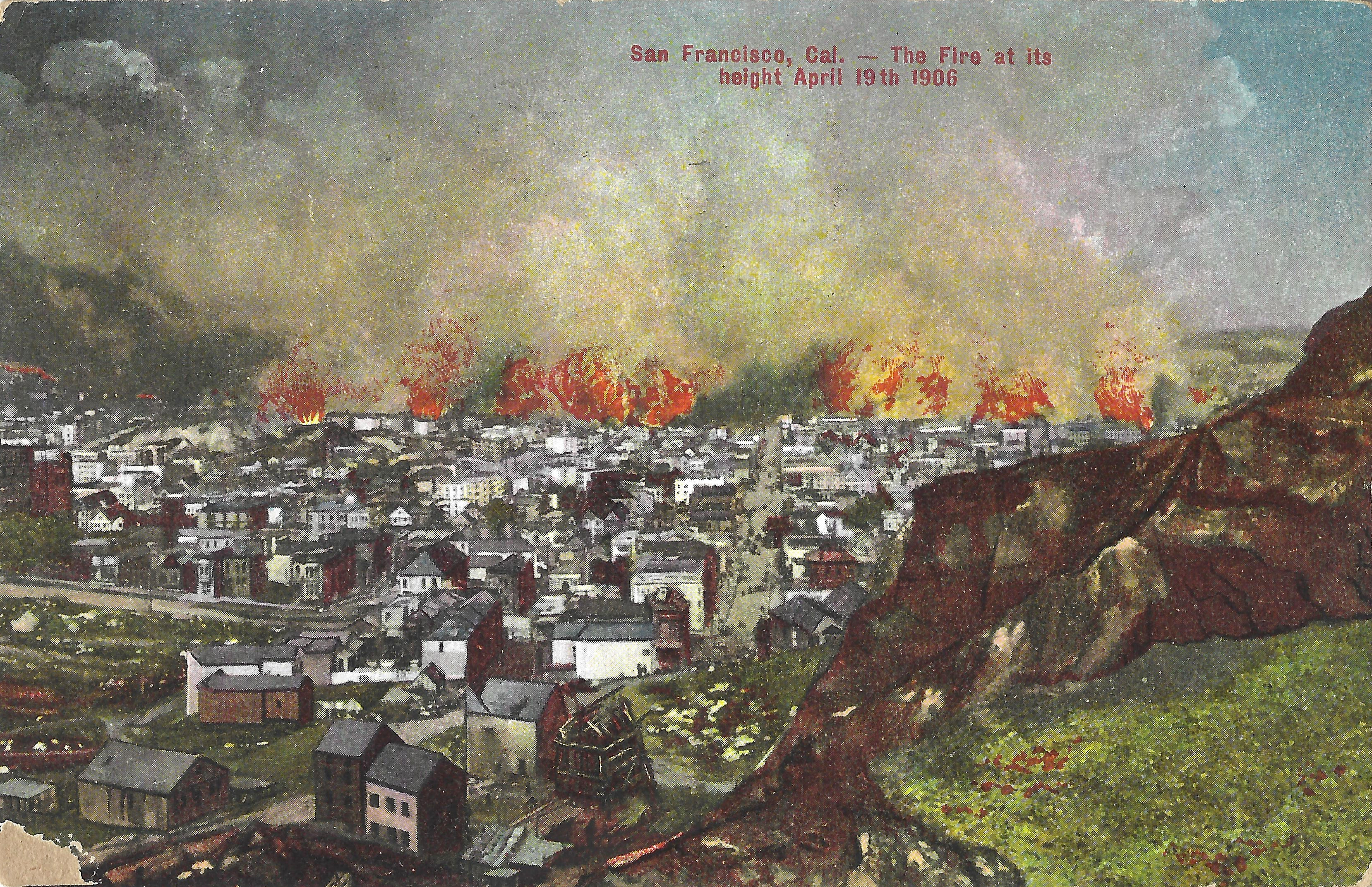
These cards use the same image (note people in the same positions on 15th St. in all three), though differently cropped. The image looks east down 15th Street from 15th/Beaver (Corona Heights). Castro runs horizontally from the left, 15th diagonally up from center. At the center of the left edge: 137 Castro, near Henry, still standing today (in 2025). The dark hill on the horizon at left is Mint Hill (Market/Hermann/Guerrero), with the diagonal of Market St. running down and right from it. The large stone outcropping at right is the Beaver Street Wall, with still intact Notre Dame Convent (Dolores/17th) showing just above it; the convent was dynamited by firefighters soon after. The fireline runs from Market to 17th, roughly along Guerrero,
- Weidner 233, divided back.
- Rieger, "The Californa Perfumer", b+w, undivided back; poorly printed (note the trailing ',' rather than '.' following "Perfumer"). The caption is misleading/incorrect: the location would not be called "Twin Peaks" today, and the image dates from the second day of the fire (4/19/1906), not the first. "South of Market" is literally correct, though 'Mission district' would be clearer.
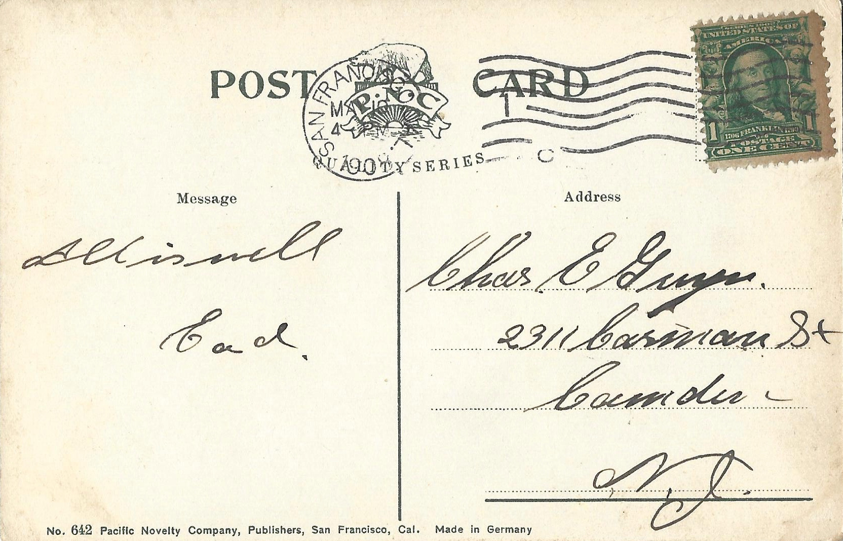
- Pacific Novelty 642, postmarked S.F. 3/10/1908, with poorly rendered flames added.
Steve's SF postcard pages: