Mission Street
This page is a companion to my Noe Valley and Upper Noe pages. It's work in progress: just pictures and a few notes, no descriptive content yet. For now, it covers Mission Street from 26th Street south to Trumbull.
Click on any picture to see full-resolution version.
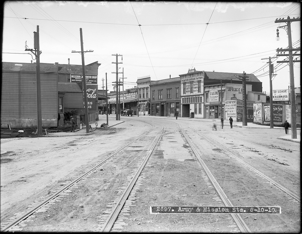
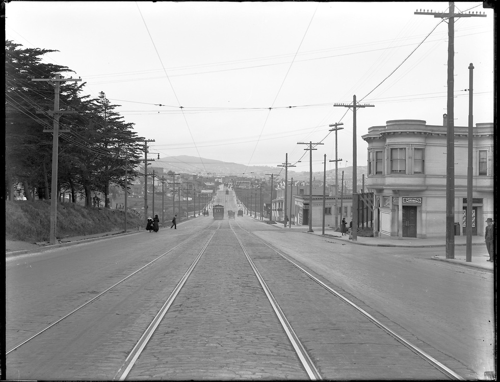
6/10/1910: Mission north at Army
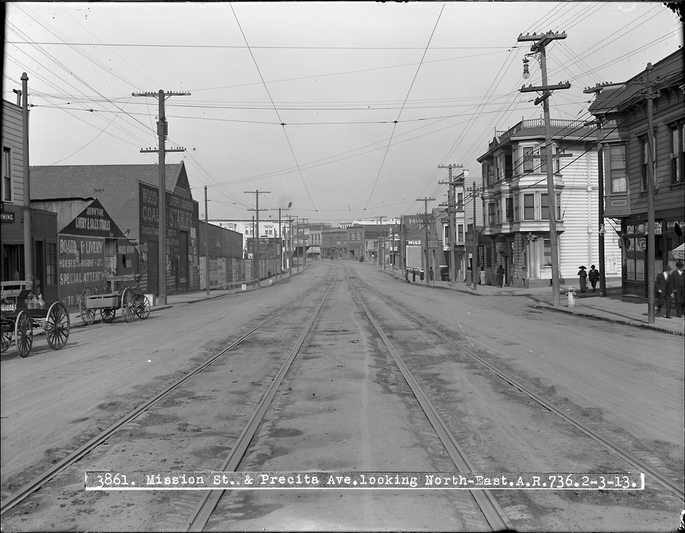
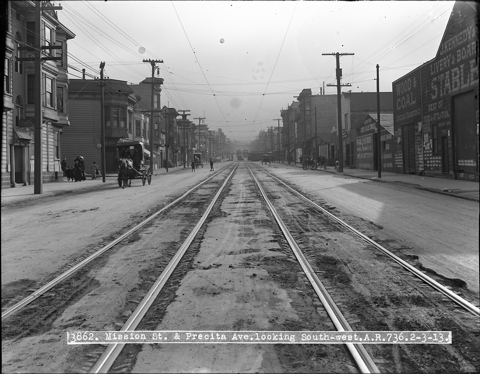
2/04/1913: Mission north and south at Precita
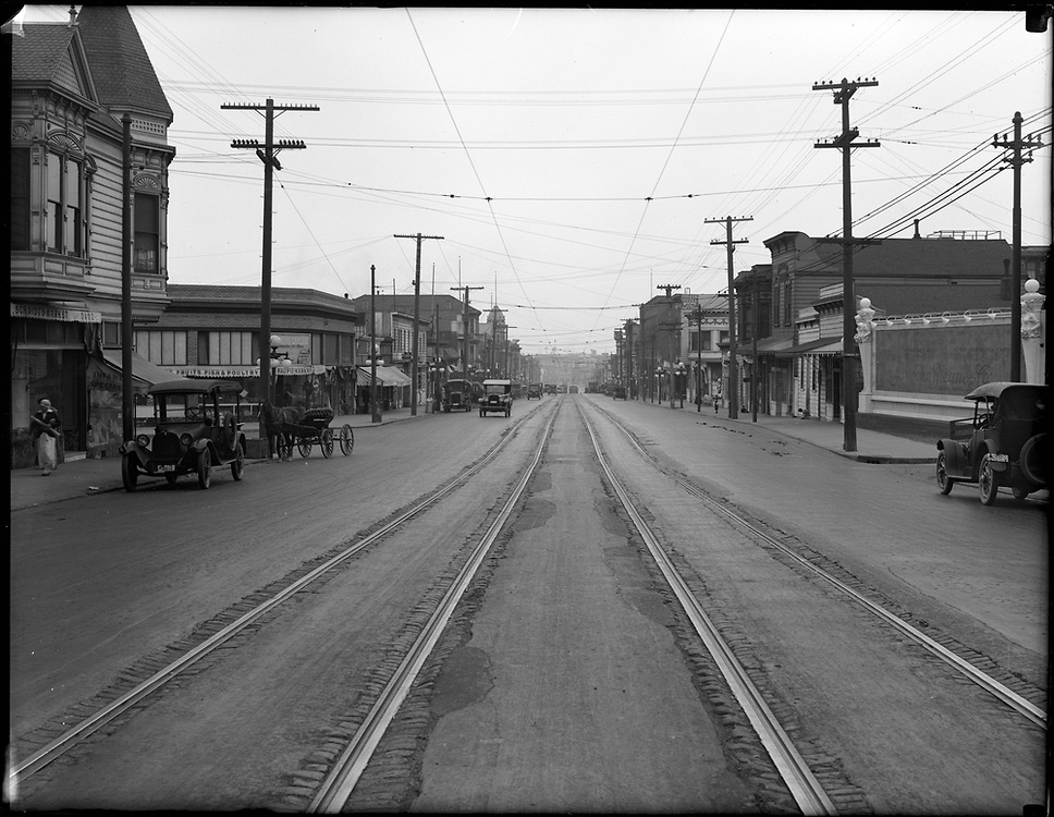
1928: Mission north between 28th/29th
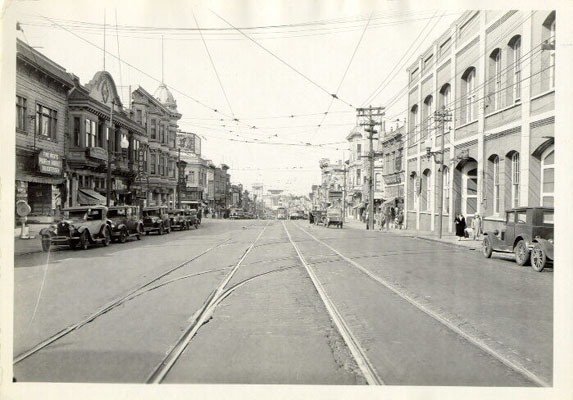
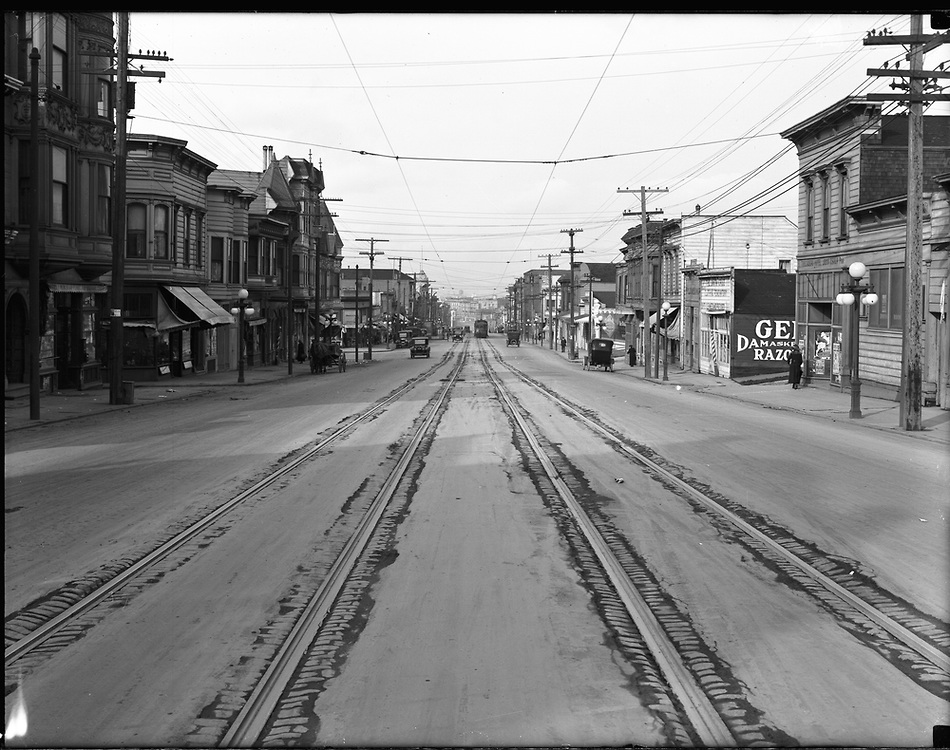
1928: Mission north at 29th
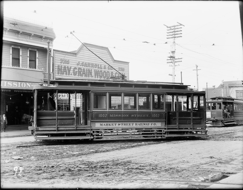
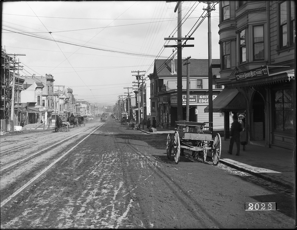
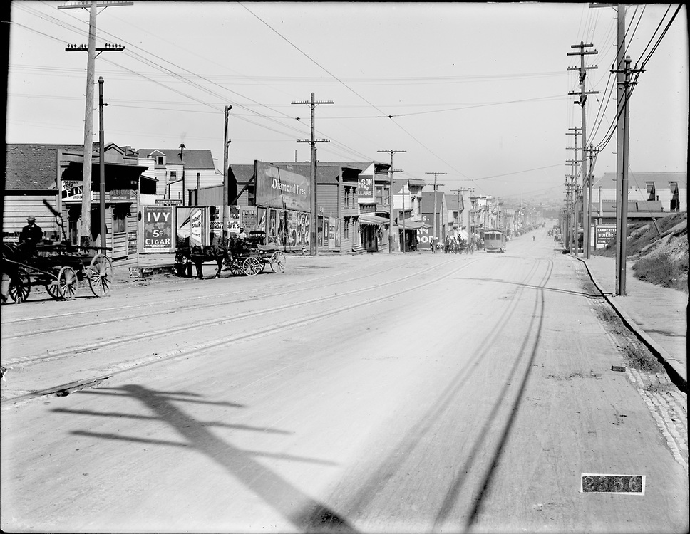
January 1904: Mission northwest near 29th; electrified car turning into barn near 3316 Mission
9/26/1919: Mission north at 30th
April 1906: Mission south at Kingston; post earthquake; 3437 Mission at left
3/01/1920: Mission north at Kingston, 3437 Mission at right
2/19/1909: Mission north at Cortland
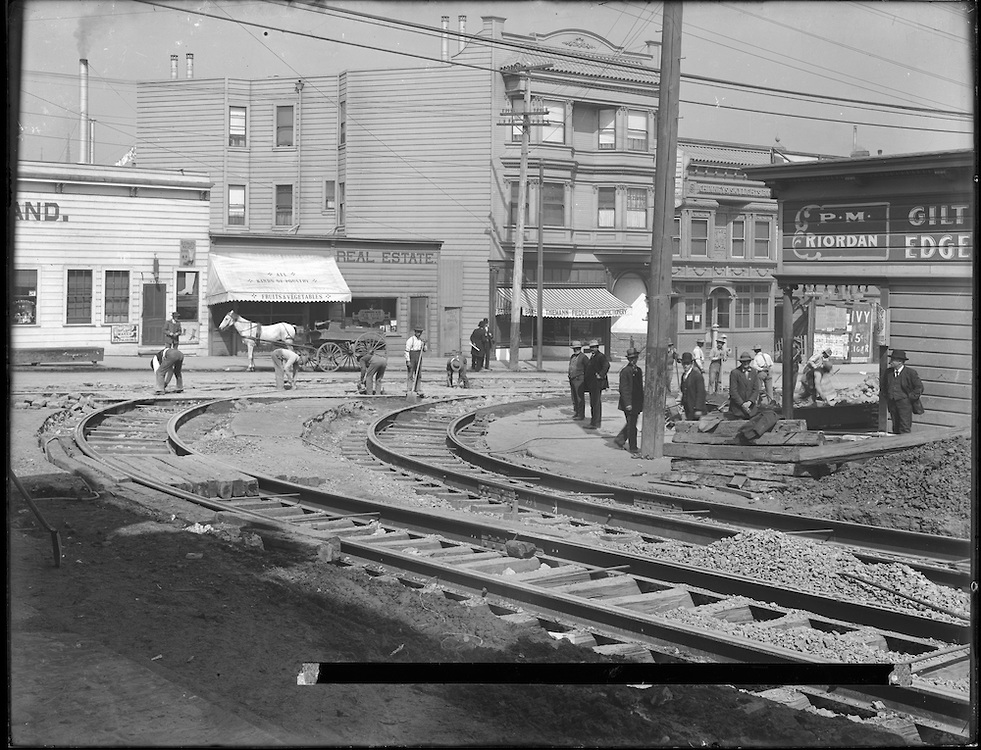
9/21/1909: Mission northwest at Cortland
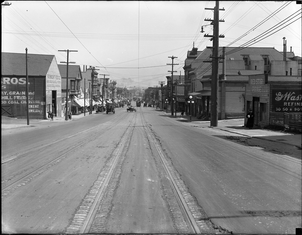
6/14/1918: Mission north near Randall; right: Red Star Garage at Santa Maria/Mission; three of the next four down to Cortland incl. Spicy Bite survive
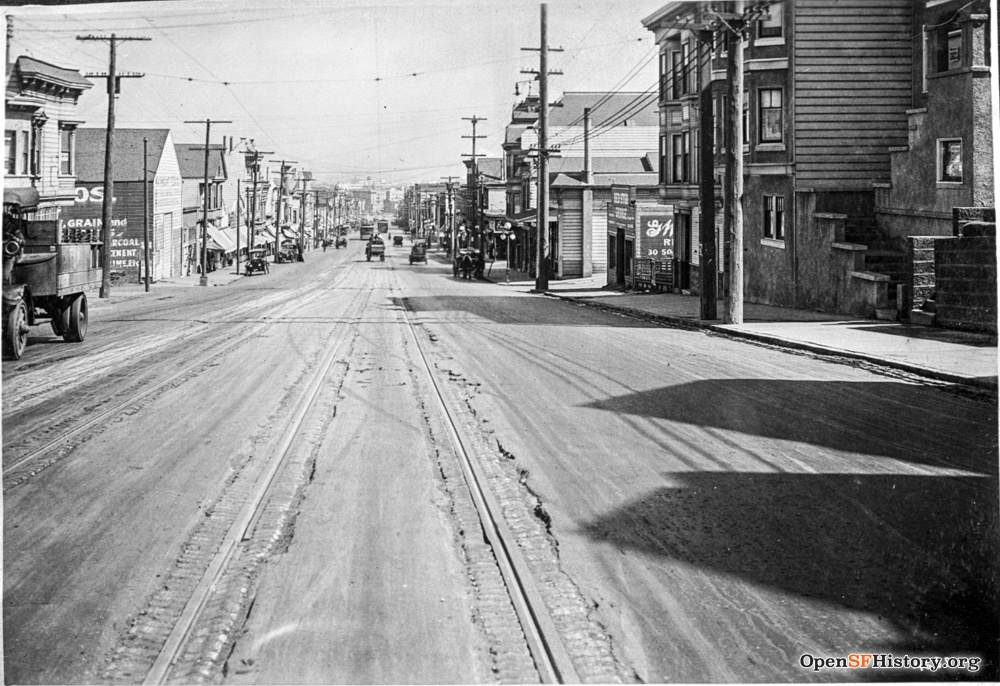
9/13/1917: Mission north near Randall
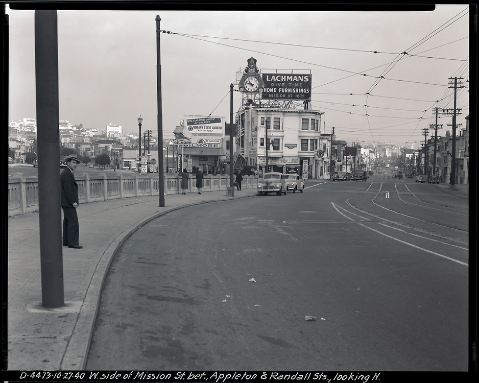
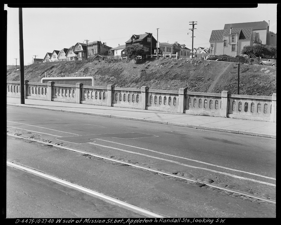
10/27/1940: Mission north and southwest near Randall; Bernal cut
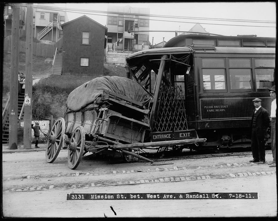
7/18/1911: Mission/Randall east; accident
9/11/1909: Mission/Randall north
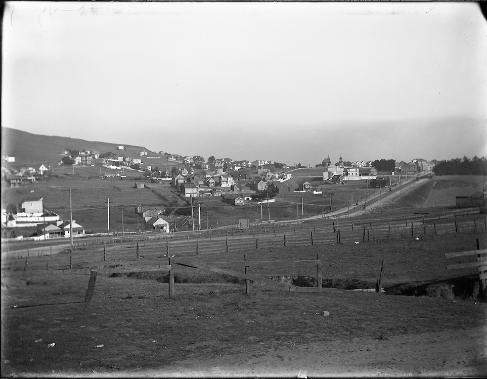
11/13/1905: Mission / College Hill; east? need to suss out location,
4/28/1919: Mission/St. Mary's south towards viaduct; 3980/3988 Mission
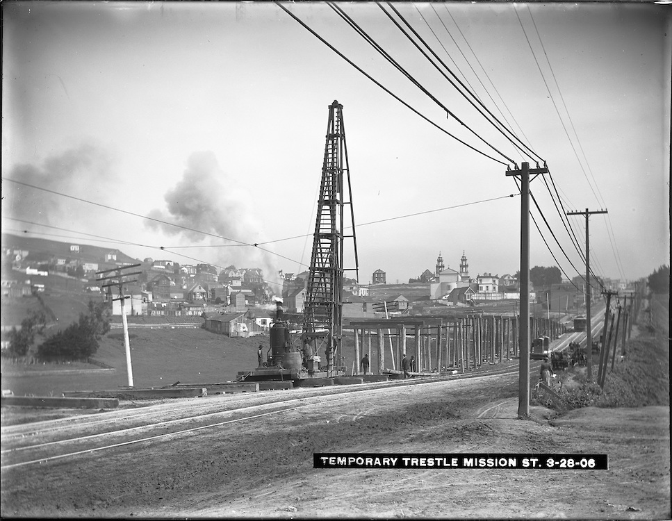
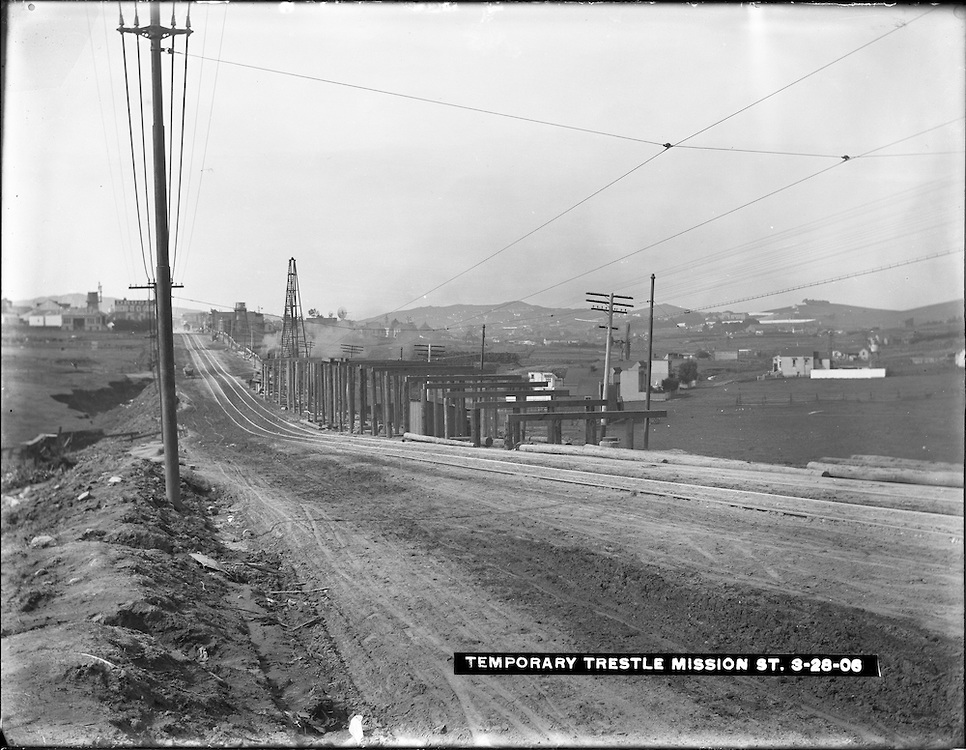
3/28/1906: Mission northwest and southeast near Trumbull; temporary trestle; steeples are St. John the Evangelist / 19 St. Marys
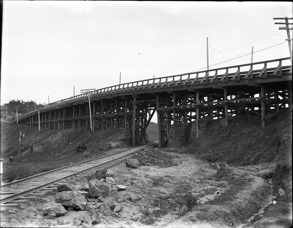
2/08/1908: Mission ? near ???; Mission St. viaduct
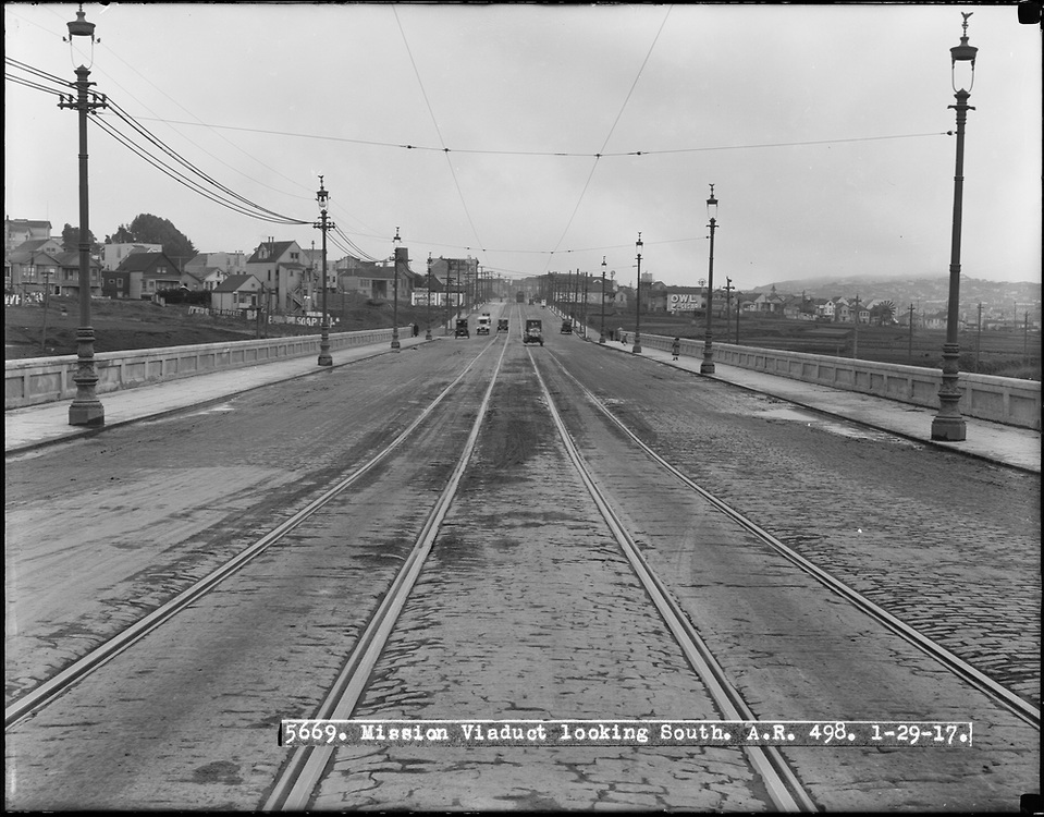
1/29/1917: Mission south near ???, Mission St. viaduct
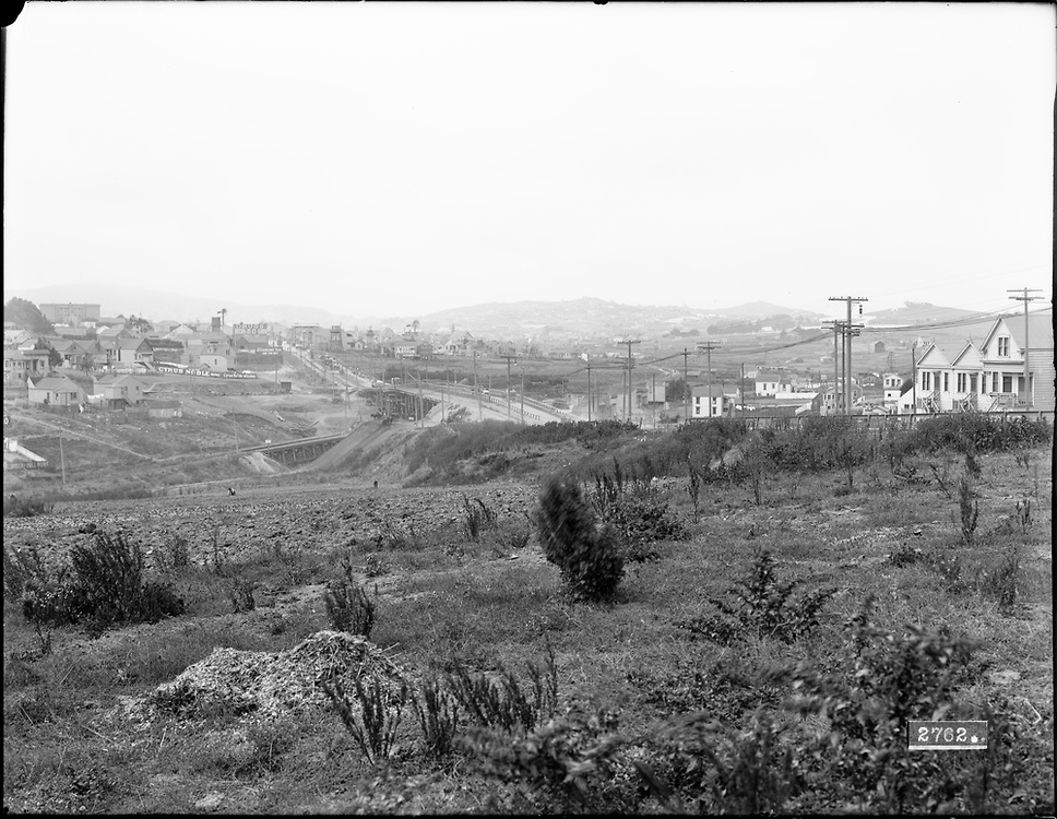
8/13/1910: Mission southwest near ???, Mission St. viaduct; first house on right might be 4036 Mission
Maps:
- 1869
- 1895 (Rand McNally)
- 1898 (marked with 1900 census enumeration districts; includes many streets planned but never built)
- 1915 (with current satellite view overlay, try it!)
- 1927 (DPW, rev. 1929)
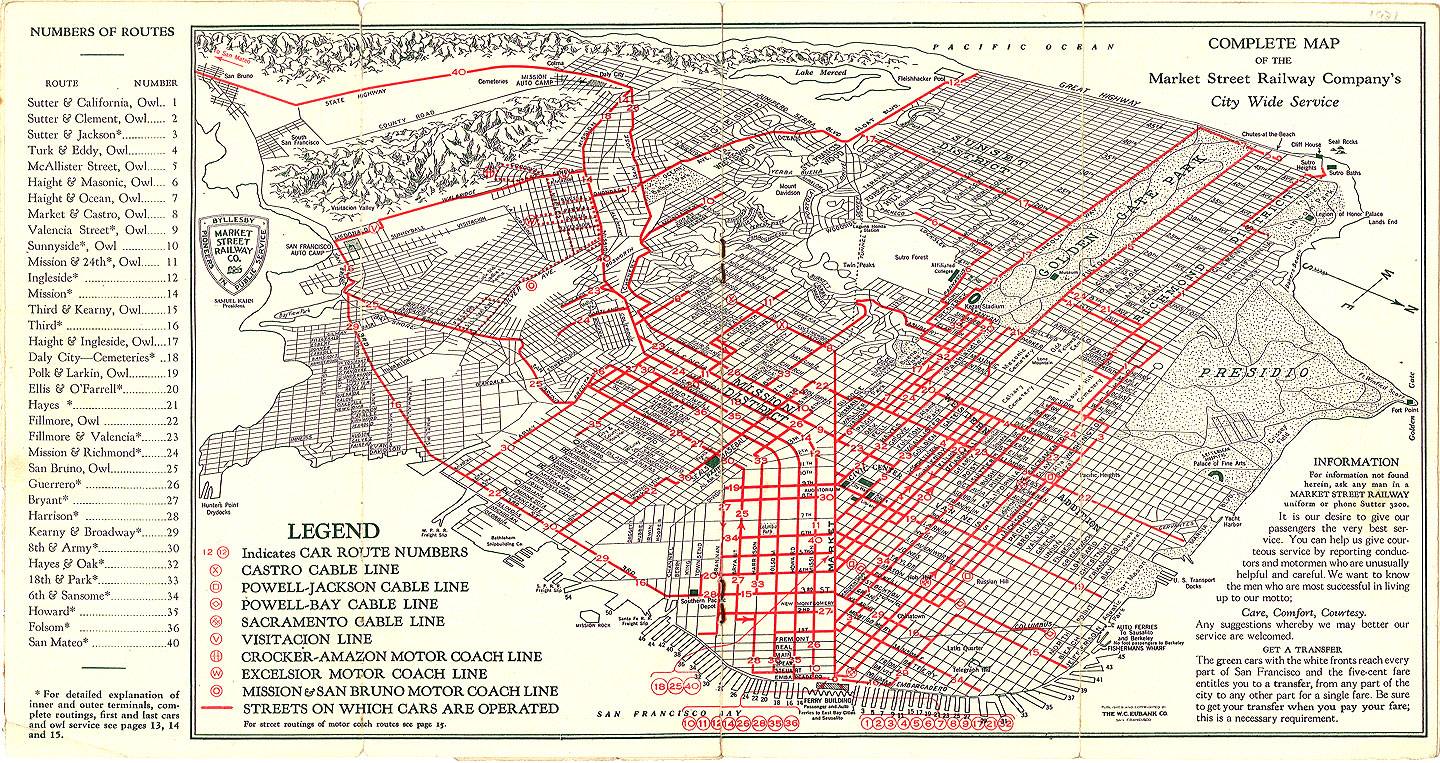
- 1934 (Market St. Railway)
- 1935 (Division of Highways)
- 1938 (amazing composite aerial view covering all of SF)
Photo archives:
- FoundSF
- Online Archive of California
- OpenSFHistory
- SFMTA (MUNI)
- SF Public Library (geolocation map here)