Hooper's 1906 Burning of San Francisco

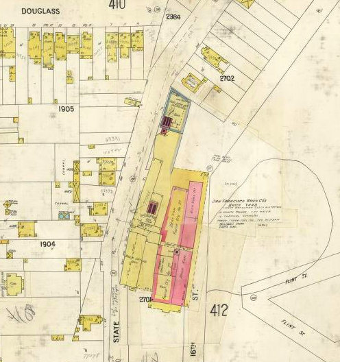
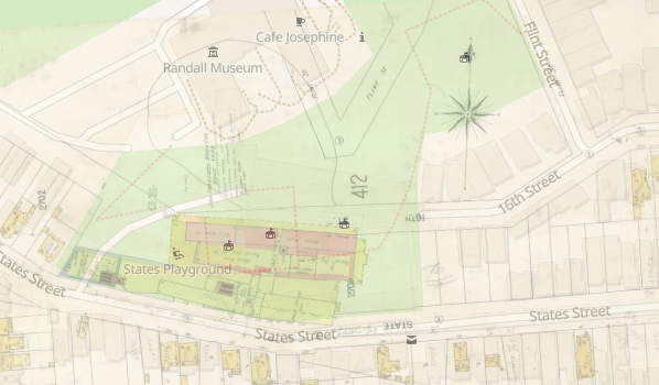
Online sources date this lovely photo to 1902. It looks northeast down Market Street from Kite Hill (19th/Yukon, a few blocks above Market/Castro), with the dome of City Hall just north of Market, the Ferry Building at the foot of Market, and the Call Building just south of Market. The large building at left is the S.F. Brick Co. on States Street in Corona Heights (1905 Sanborn [V. 4, sheet 411]); the site is now States Playground (geolocated image here).
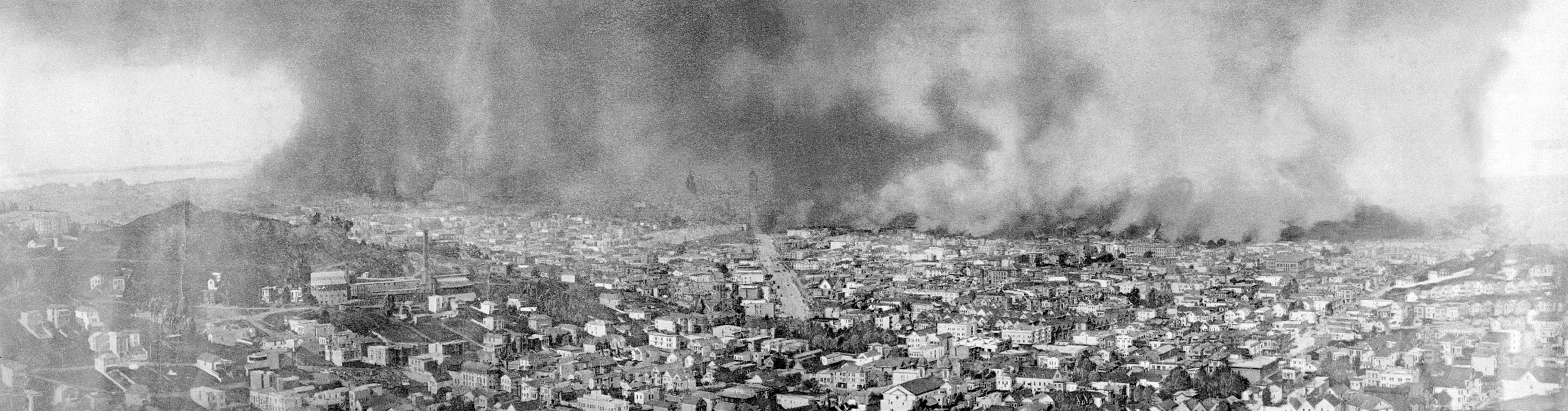
There are many stunning images from the San Francisco fire of 4/18-20/1906, but to me none have greater impact than this Harry Sterling Hooper photo (Wikipedia Commons), taken from the same hill as the pre-earthquake photo above. It shows the incredible scope of the firestorm across the city. It must date from the second day of the fire 4/19/1906, as the fire rages north up Van Ness and west through the Mission. The City Hall dome and the Call remain dimly visible through the smoke. The fire line on Market is roughly at Valencia (see my Mint Hill 1906 page). South of Market, the fire threatens Notre Dame Convent and Mission High School on Dolores (detail here; see my Dolores Park 1906 page).

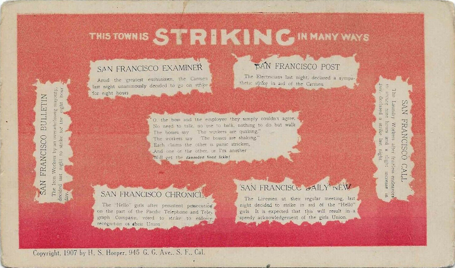
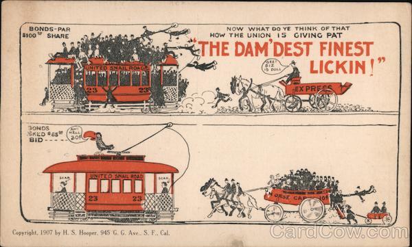
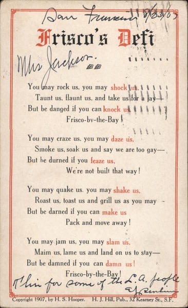
Here's a colorized version. Photographer Harry Sterling Hooper was born in Illinois, grew up in Kansas, came to California as a young man, married and had children, witnessed the 1906 San Francisco earthquake/fire firsthand, dabbled in postcard publishing in S.F. (see here and here), moved back to his parents' farm in Kansas after the earthquake and worked as a dry goods salesman, returned to California and worked as a rancher near Oroville, published some topical poetry (see here), and was issued one patent. He was in the right place at the right time to take one stunning photograph. My biographical research is here.
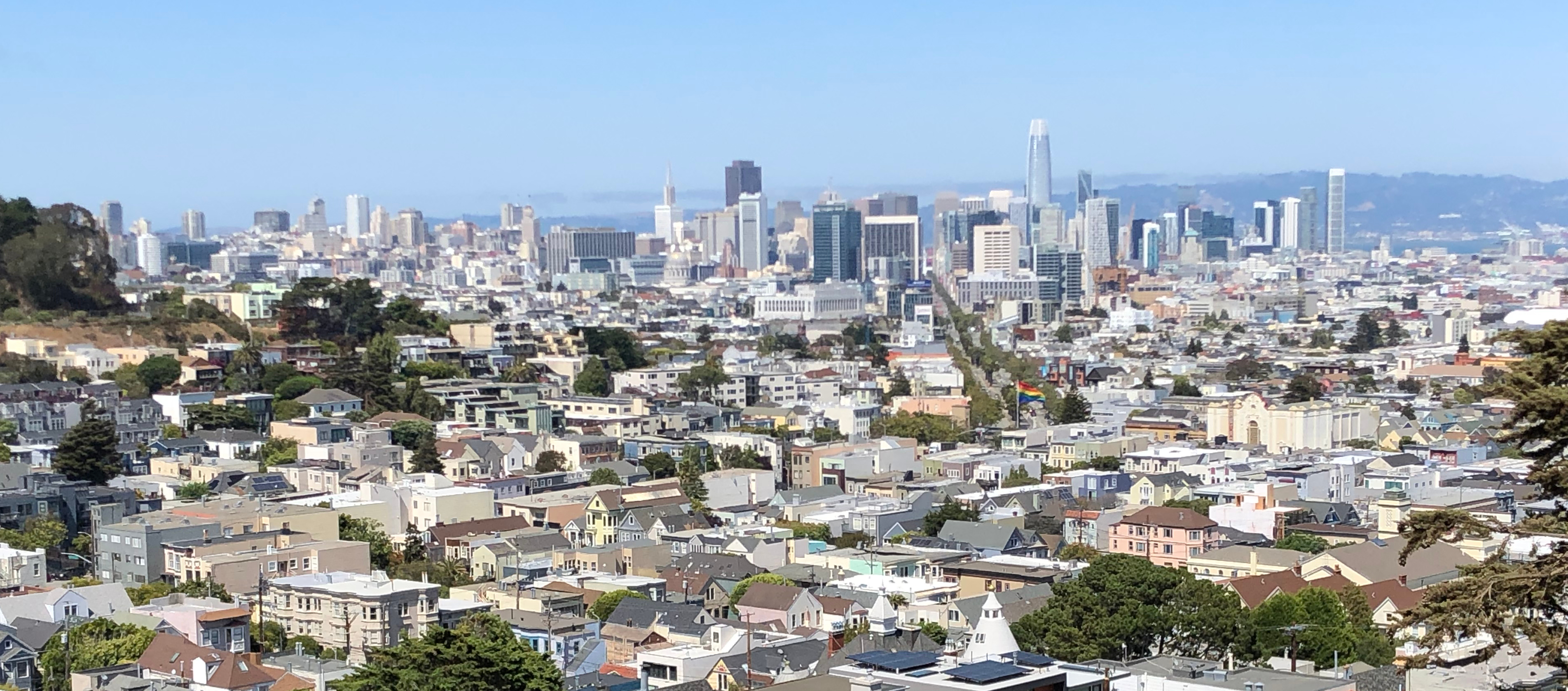
Here's a 7/23/2020 view for comparison.