Earthquake/Fire: Lafayette Park
 |
 |
 |
 |
 |
 |
The striking images on these cards date from 4/19/1906, day 2 of the fire. Most look southeast from Lafayette Park past the corner of Gough/Sacramento toward Polk Gulch and Nob Hill. 1905 Sanborn (V. 3 sheet 260) shows details of the area before the fire. Kennedy's fire timeline describes the progress of the fire in detail; it crossed Van Ness but was stopped at Franklin at around 3 AM on 4/20/1906 (day 3). Punnett's Two Years After map shows that the fire burned to within a block of the park. Doolittle shows the burned area after the fire, looking east across Van Ness between Bush/Pine toward Nob Hill.
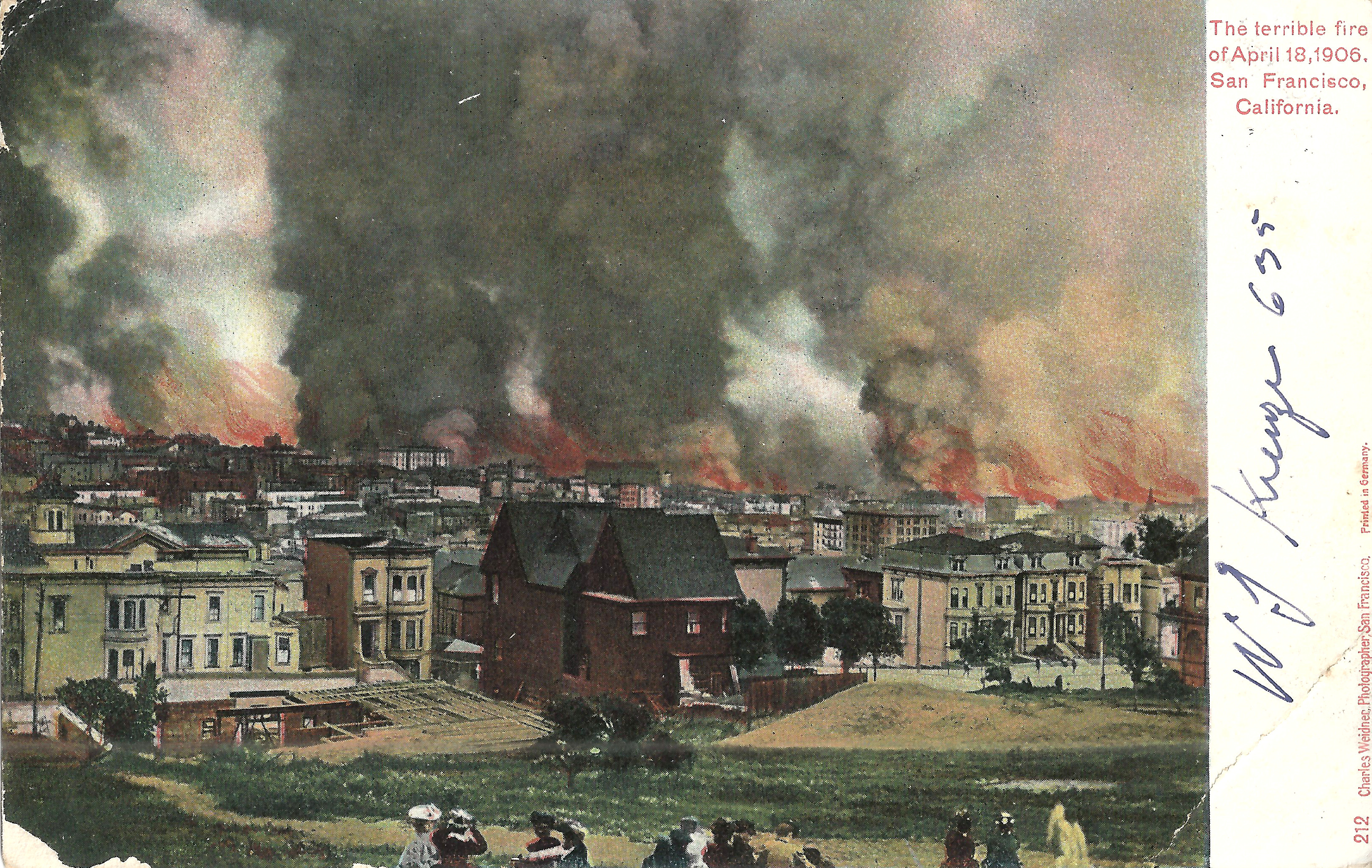
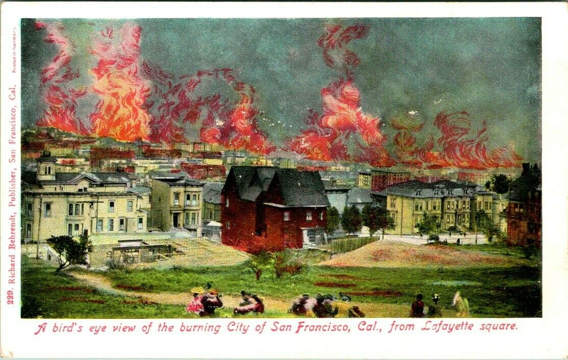
- Weidner 229 looks east over Polk Gulch from the top of the ridge in the park. Center, below the people on the ridge: roof of 1915 Gough. Right center: Fairmont Hotel on Nob Hill.
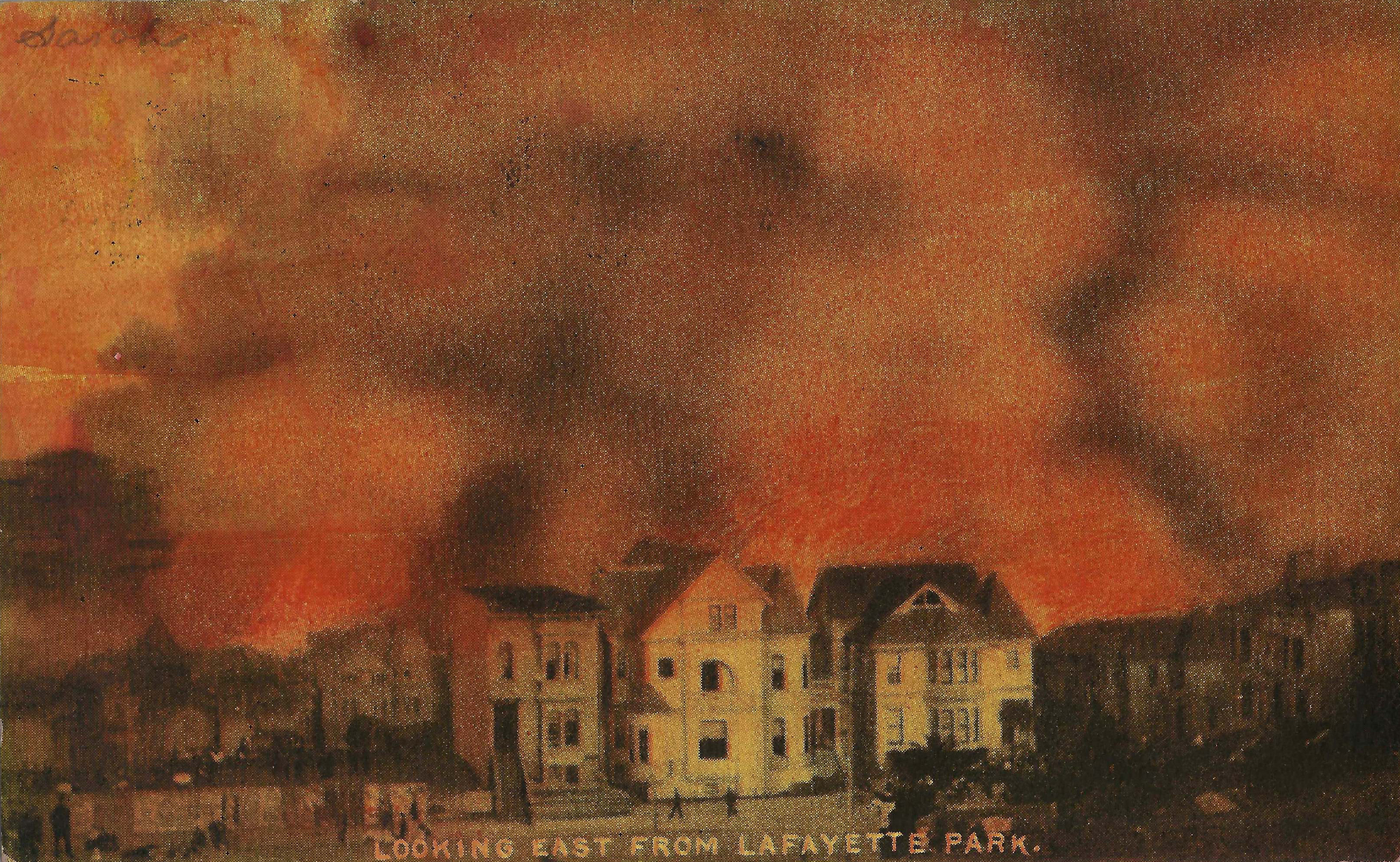
- Weidner 212, postmarked SF 4/15/1907. Left edge: 1941 Clay (SE corner Gough/Clay), with the tower of 1939 Clay just beyond. Center: 1915 Gough. Right edge are 1812/1814 Gough. Behrendt 229 shows the same image with dramatic coloring of flames added. This must be later than Weidner 212, as the fire is very active in Polk Gulch.
- Rotograph, postmarked 2/13/1907, looks east across Gough between Washington and Clay. The foreground houses are 2000/2004/2010 Gough. The fire is very close.
 |
 |
 |
 |
 |
 |
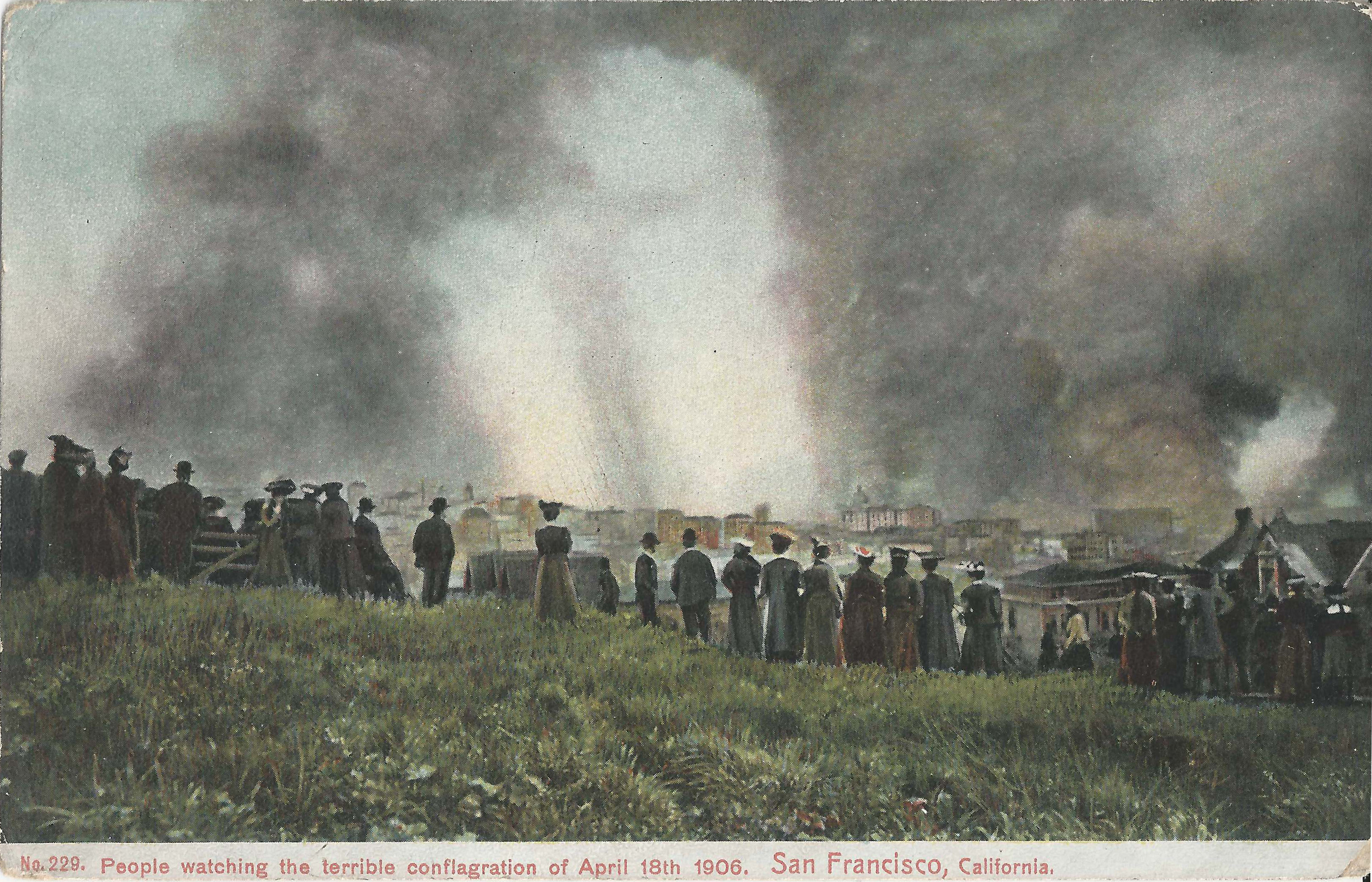
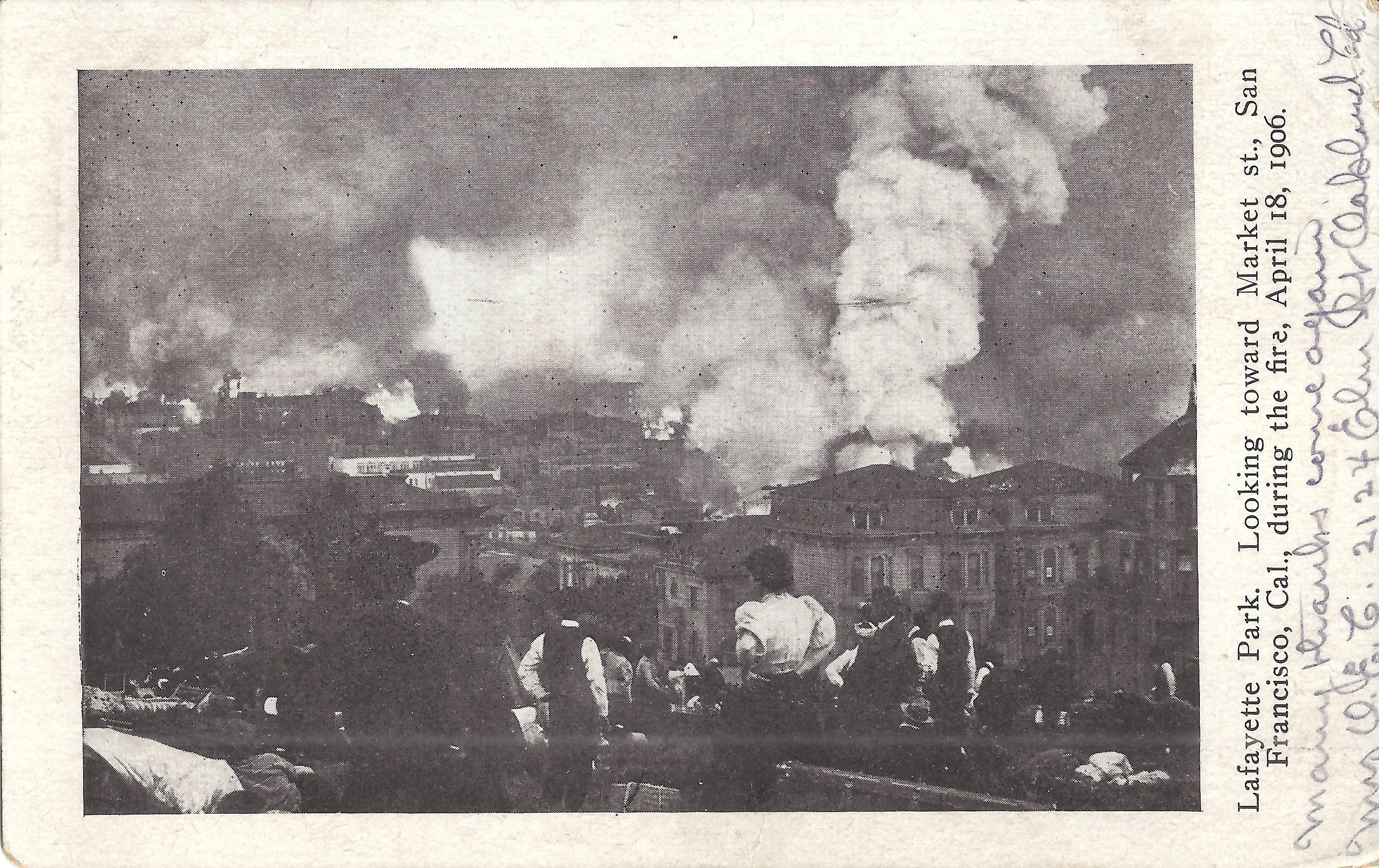
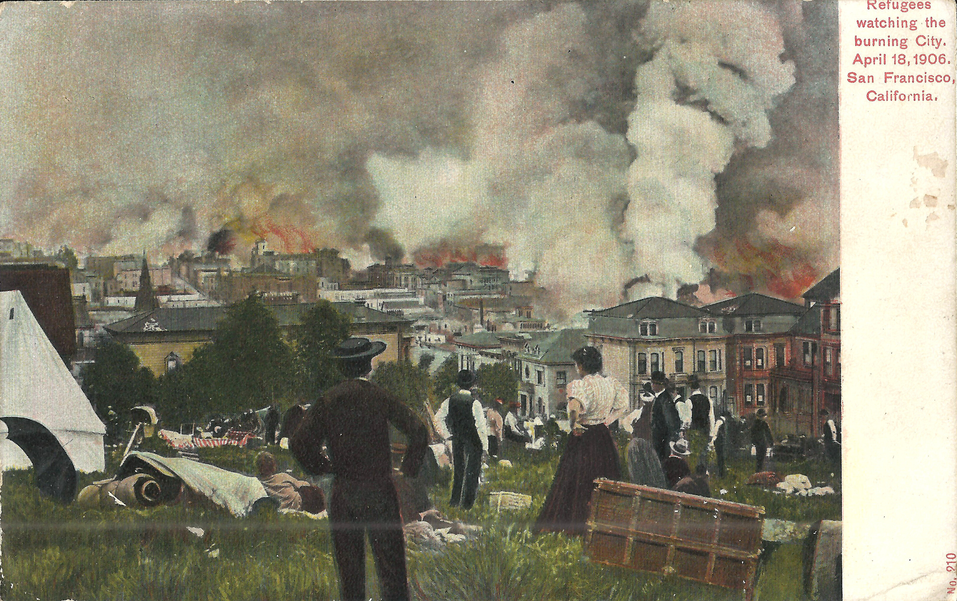
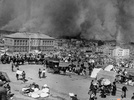
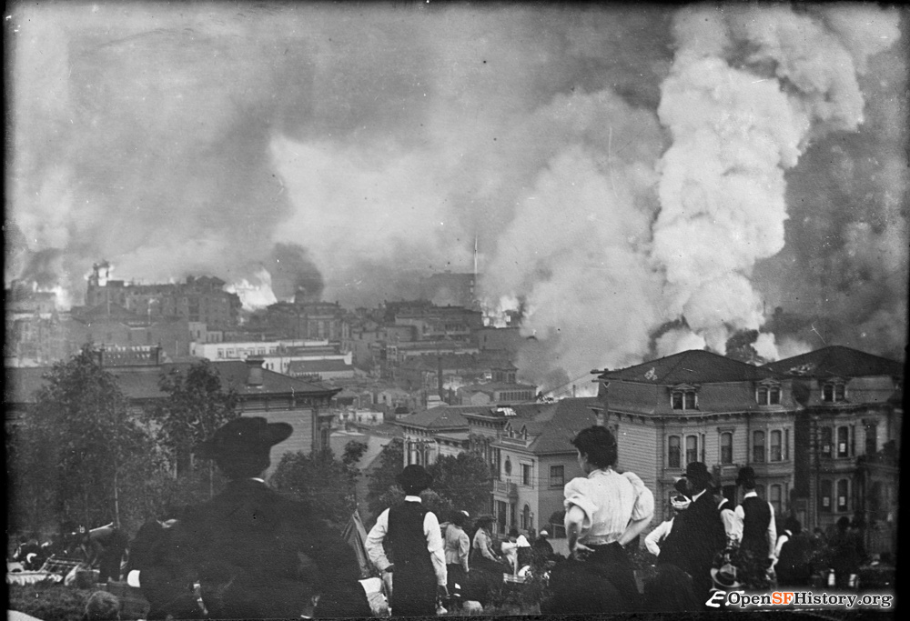
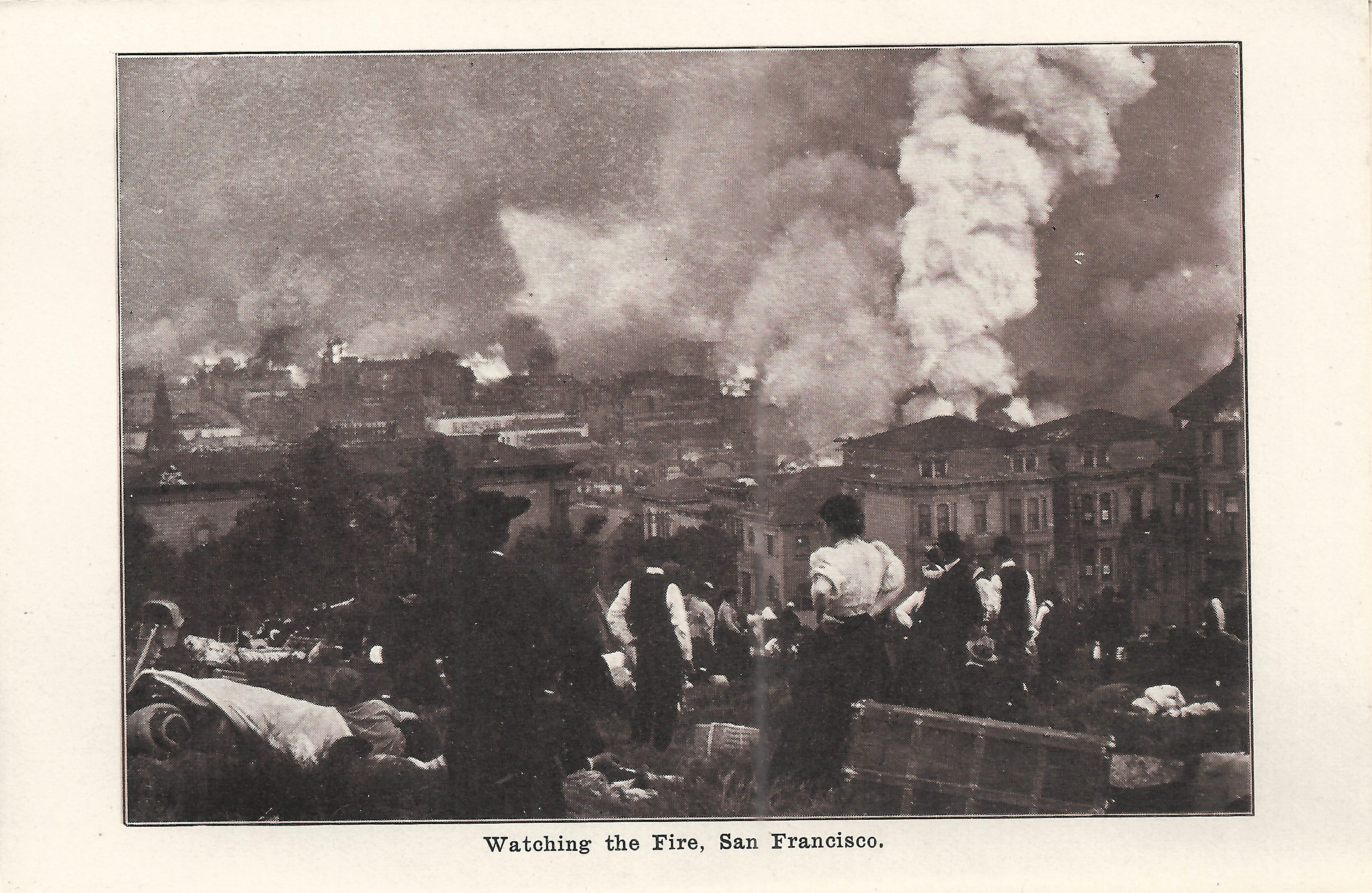
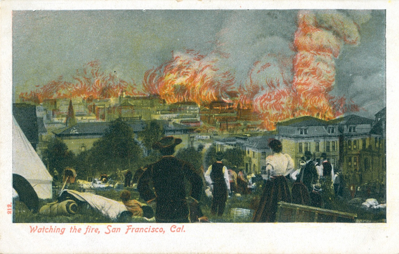
These postcards all show the same view; a higher resolution image is here. Later on day 2, a large tent has been erected, the park is filling with refugees and their belongings, and the fire is much closer. The houses at 1812/1814 Gough again appear at the right edge. Just left of the woman's white blouse is 1919 Sacramento, still standing in 2020.
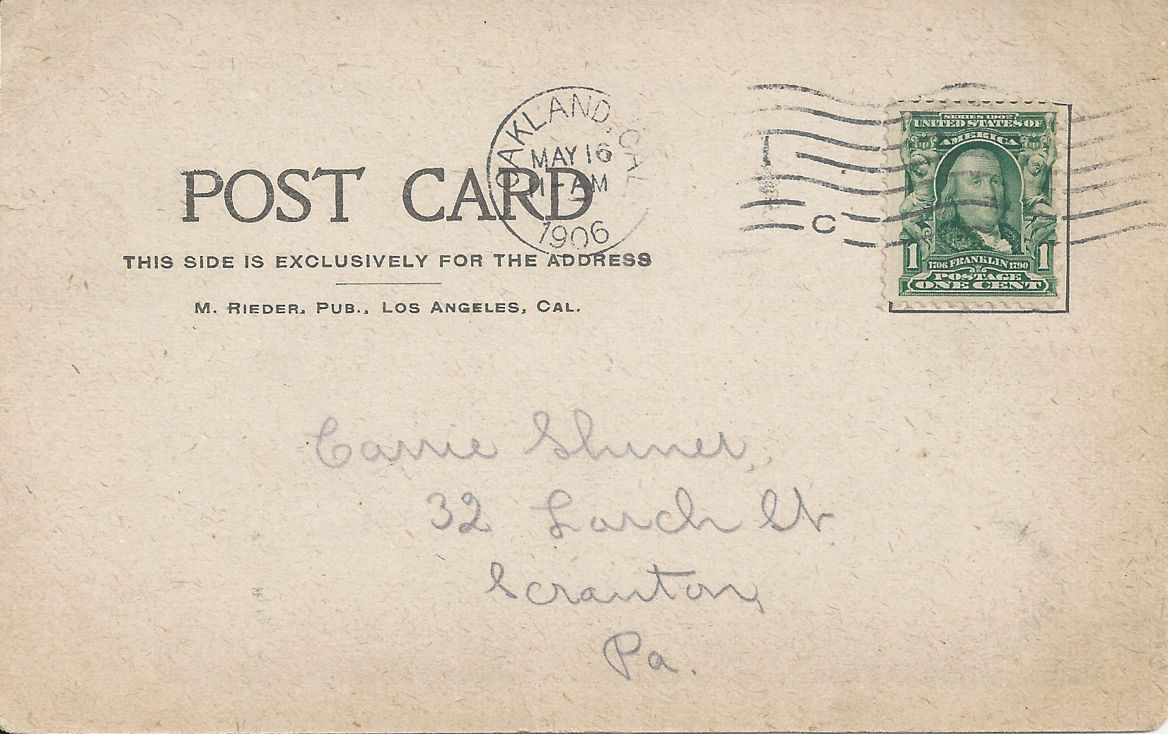
- Rieder, postmarked Oakland 5/16/1906, less than a month after the earthquake and fire.
- Behrendt 212, same image as preceding. The image also appears in Behrendt's souvenir folder Destruction of San Francisco by Fire and Earthquake, similarly titled "Watching the Fire". Unknown publisher 212 (same stock number, so presumably Behrendt) colors and enhances the image with sensationalized flames.
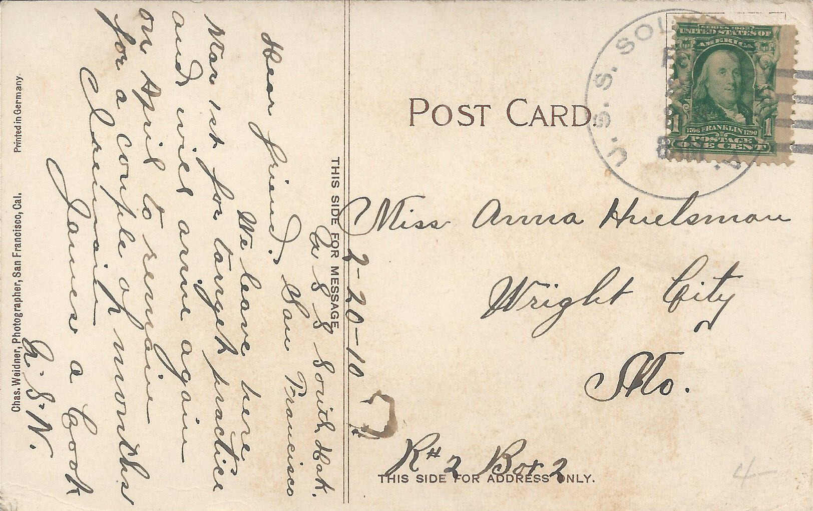
- Weidner 210, postmarked U.S.S. South Dakota, postmark date illegible but message dated 2/20/1910; colorized version of same image.
Steve's SF postcard pages:


